Click the File | Close command or click the  button if an existing project is open.
Save the changes if desired. If you are using the demo version, you will not be able to save the file. Close the file without saving.
Click the File | New command or click the  button.
Click the Image | Download Online Maps command.
In the Download Online Maps dialog, click the ![]() next to Worldwide Data.
next to Worldwide Data.
Click the ![]() next to NASA's Terra MODIS server.
next to NASA's Terra MODIS server.
Click on the USA State Boundaries 1:20M scale layer.
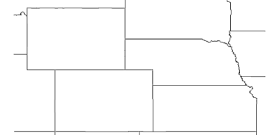
In the Select Area to Download section, select Specify Latitude/Longitude extents.
Type in -112 for West, -94 for East, 45.5 for North, and 36.75 for South.
Leave the slider in the Select Image Resolution to Download section set to the default. The image size should show approximately 2000 x 995 pixels, or an 8 MB image download.
Click OK and the image will appear in the plot window.