Click the Map | Change Projection command.
In the Assign Coordinate System dialog, select the desired system. Click the  next to Predefined.
Click the next to Projected Systems.
Click the next to State Plane.
Click the next to 1983.
Click the State Plane 1983 - Colorado North (Feet) system.
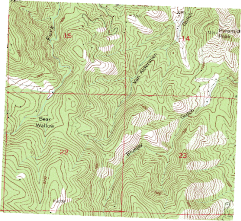
Click OK and the project is converted to the new system. In this case, the file is now in state plane feet coordinates. In some cases, no visual change is apparent, until you examine the coordinates listed in the Coordinate Manager or in the status bar. In this case, the image warps and appears at an angle.