Opening an Existing Project - Tutorial
Existing projects may have projections defined or may have been created with Cartesian coordinate systems.
To open an existing project,
-
Click the File | Close command or click the  button if an existing project is open.
-
Save the changes if desired. If you are using the demo version, you will not be able to save the file. Close the file without saving.
-
Click the File | Open command or click the  button.
-
In the Open dialog, select the USGS DRG Contour Extraction.pjt file and click Open.
-
To determine if a project uses a projection, refer to the status bar at the bottom of the plot window. The far right section of the status bar lists the projection.

The current projection information is on the far right side of the status bar.
The projection can also be determined by clicking the Map | Change Projection command. If the Change Projection command is not available, a projection has not been previously set for the project. The Change Projection command is not available, which indicates the project does not have a projection defined.
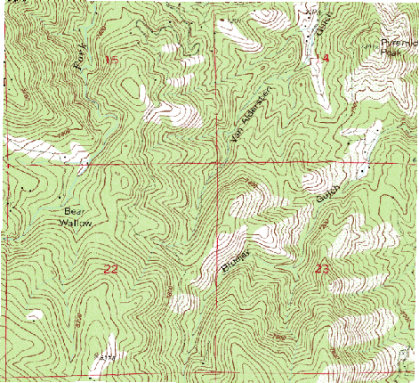
The file opens and displays the USGS DRG file in the Cartesian coordinates.
Back to Lesson 5 - Assigning and Changing the Projection
Next to Assigning the Projection